Fishing Resources
Important: Confirm all information related to license requirements and regulations with the appropriate governing body.

Windy Wind map and weather forecast
Windy is a Czech company providing interactive weather forecasting services worldwide.
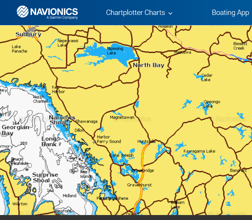
Nautical Charts and SONARCHART™ HD bathymetry maps.
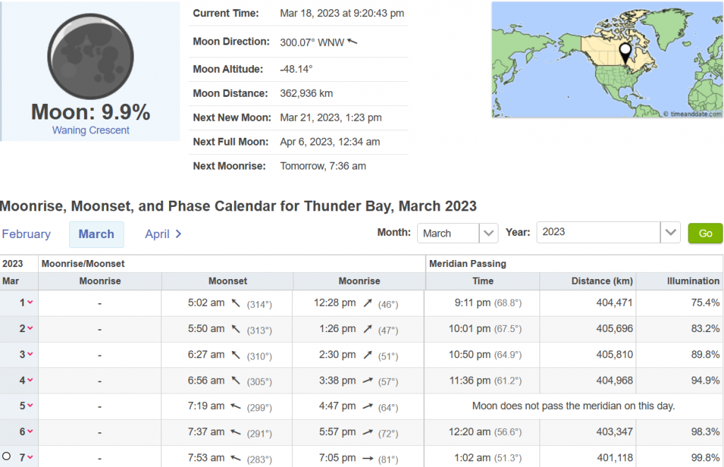
Moonrise, Moonset, and Moon Phase specific to a location you enter. Perfect tool to create a personalized solunar table.
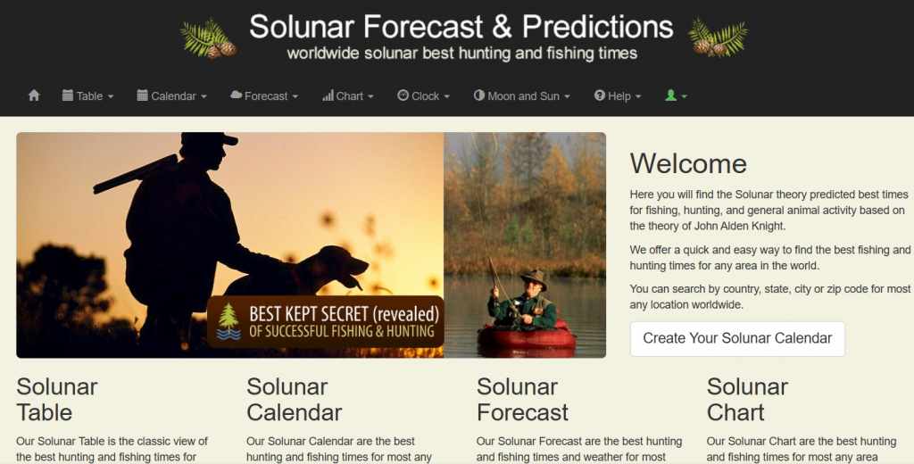
Solunar Forecast and Predictions
Solunar theory predicted best times for fishing, hunting, and general animal activity based on the theory of John Alden Knight.
Enter your location to obtain your chart to determine the best fishing and hunting times for any area.
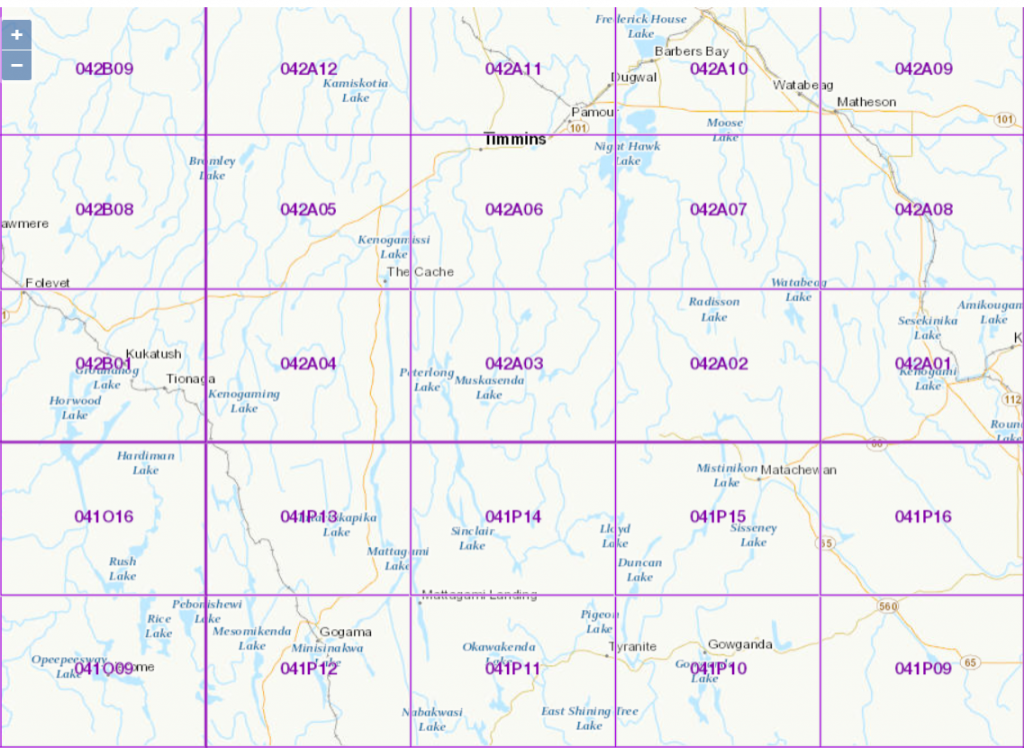
Ontario
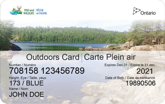
To hunt and fish in Ontario, you need a valid Outdoors Card and a valid hunting or fishing licence.
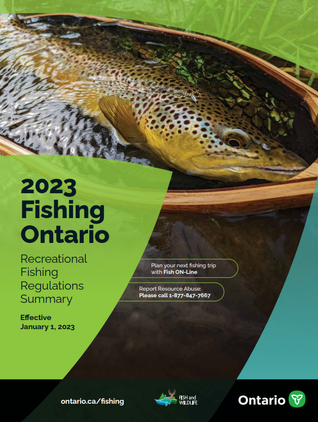
Ontario Fishing Regulations Summary
An annual guide to the rules and regulations for recreational fishing in Ontario. It contains information about recreational fishing licences, open seasons and catch limits, as well as up-to-date fishing regulations for each fishing zone. Effective January 1, 2023.
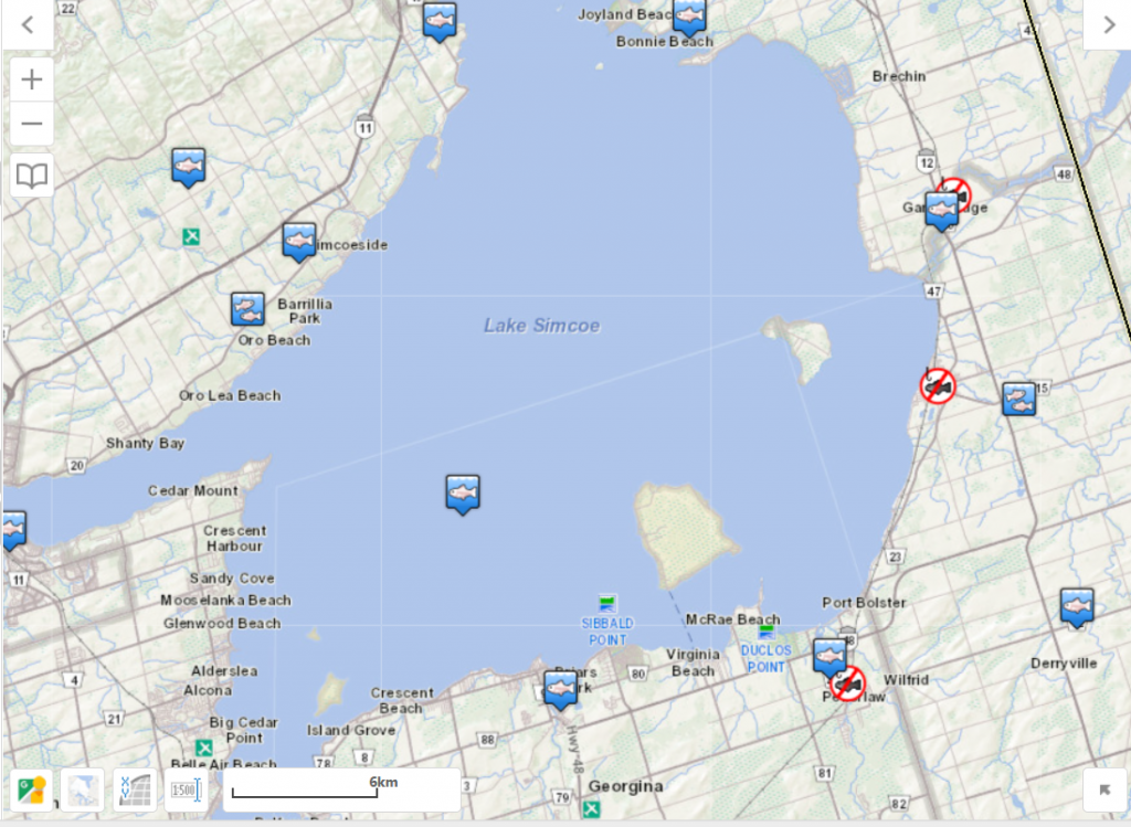
Fish ON-Line is the province of Ontario’s online mobile fishing tool that allows you to plan your fishing trip by locating bodies of water in your area, determining the fish that are present, provide the regulations in place and even listing locations of where fish are stocked.
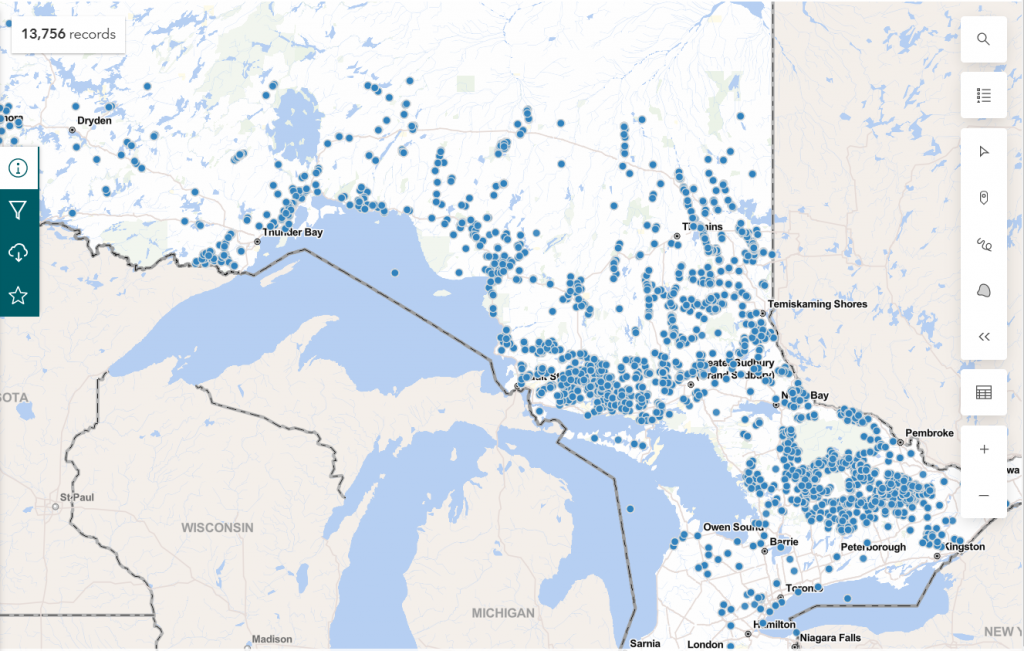
Fish Stocking Data for Recreational Purposes
Stocking data for the past 10 years for species where the purpose of the stocking event was to promote recreational fishing.
This is a subset of data from the fish stocking information system. This data can also be obtained through the Fish On-Line application.

This dataset is the most complete collection of historical fish stocking records available for the time period 1900 to 2012.
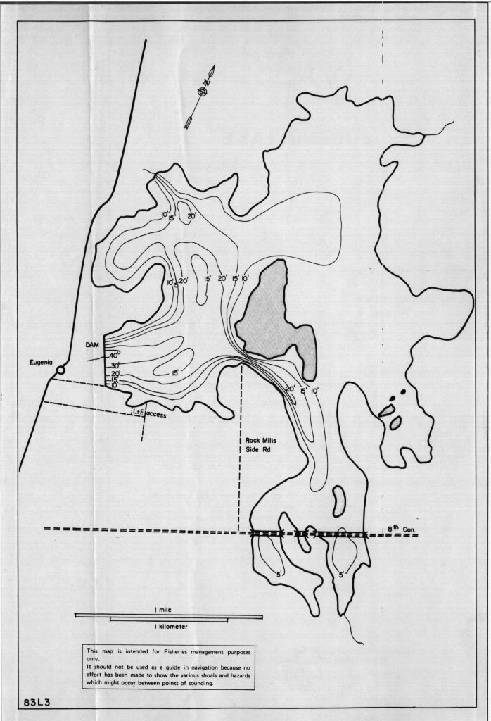
Bathymetry is the measurement of water depth in lakes. From the 1940s to the 1990s, the Ministry of Natural Resources and Forestry produced bathymetry maps for over 11,000 lakes across Ontario.
This page contains information licensed under the Open Government Licence – Ontario.

A general guide for locating and viewing Crown land use areas and associated Crown land use policies.
GeoGratis spatial product index
Index of free digital topographic maps held by Natural Resources Canada (NRCAN).

Ontario MNRF Learn to Fish Webpage
The Learn to Fish program is a free program that teaches new anglers how to fish in Ontario. The program has an online version and an outreach portion. The outreach schedule is posted within this site in June.
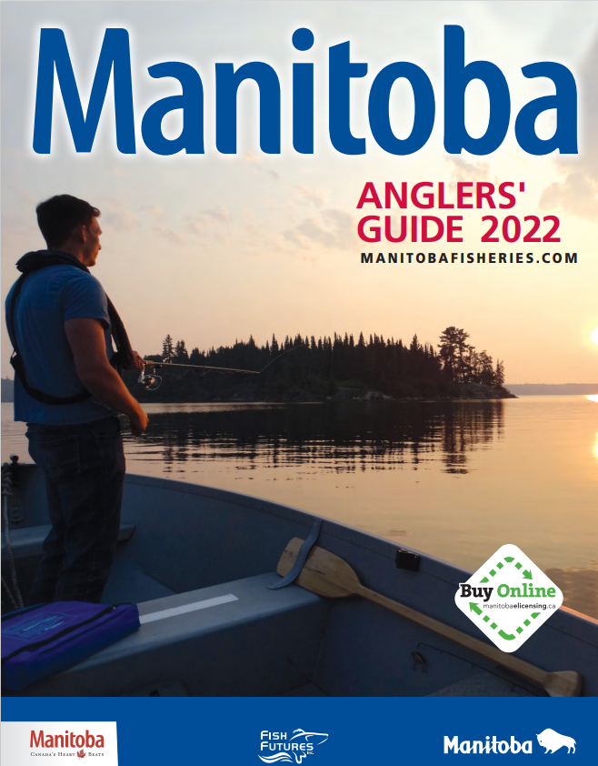
Manitoba
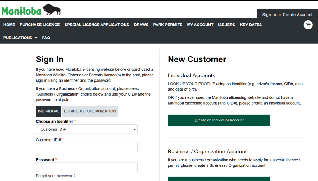
Licenses are valid from May 1st.
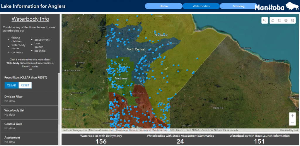
Manitoba Lake Information for Anglers
The “Lake Information for Anglers” site provides information such as bathymetric data, fish stock assessment data, boat launch photos and fish stocking records. Recent and historical stocking efforts since 1917 can be searched by fish species, year, waterbody or fishing division.
Quebec
This link contains all of the information you will require to determine which license you will need.
Michigan
Michigan’s annual fishing license is valid from March 1 of a given year through March 31 of the following year.
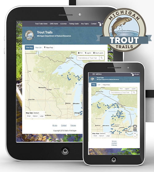
Check out Michigan’s Trout Trails which are biologist-verified great trout waters that are often lesser known. This map includes detailed descriptions and photos for each site, as well as information for area lodging, restaurants and guide services to assist with your trip planning needs. In addition, site-specific information such as the trout species available, regulations, stocked or natural reproduction and other noteworthy tidbits are all at your fingertips!
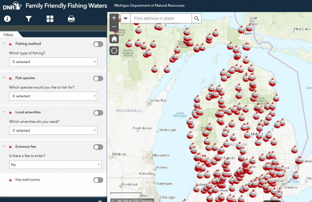
Family Friendly Fishing Waters
The Family Friendly Fishing Waters map shows family-friendly fishing locations across the state that are easy to access and have a high likelihood of catching fish. You can filter the locations by what type of fish you want to catch, what kind of fishing you are looking for (boat, pier, shore) what amenities you would like (swimming, restrooms, etc.) and entrance fee.
Minnesota
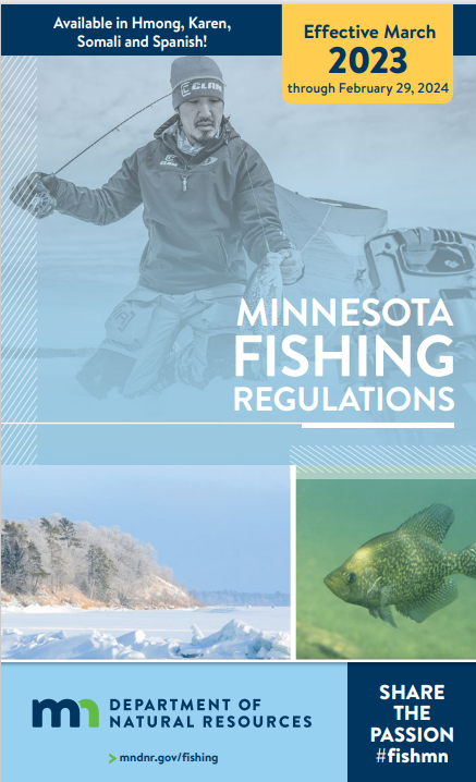
Minnesota Fishing License
Fishing licenses are effective from March 1 to the last day of February of the following year.
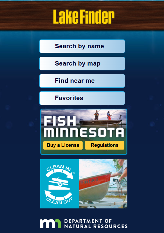
Take the MN DNR’s lake information on the go with the LakeFinder mobile website. The LakeFinder contains data for more than 4,500 lakes and rivers throughout Minnesota and this mobile application allows you to get the information on demand with an internet connection. Get lake surveys, depth maps, vegetation reports, water data, and fishing regulations in the palm of your hand.
New York
New York State Freshwater Fishing Regulations
Regulations are effective April 1st.
This application includes a feature called the Tackle Box that provides anglers with one stop shopping for waterbody-specific information on fishing regulations, stocking, and fishing/boating access sites. Tackle Box is part of DEC’s continued efforts to make fishing easier, more enjoyable and more accessible to all!